Using Location Intelligence to keep people safe
Available On-Demand
During an emergency, it is critical to answer the ‘where’ questions. Where are people in trouble? Where are they safe? Where is the emergency headed? Where are the resources that will save the day? Answering these questions requires two key components of intelligence: maps and data.
This webinar discusses how to best visualize critical variables during an emergency to power response and resource allocation.
- Data sets: (functional needs populations, fire districts, flood plains, and more)
- Shapes, files, and drawing tools
- Precision targeting
- Geofenced messaging
- Locating personnel
| This is the second in our 2019 webinar series Critical Event Management for Public Safety. Each webinar will provide the latest strategic recommendations on a key area of emergency management. Future webinars will address Automation/Command and Control/ Operational Coordination, and Data Capture for After Action Reporting. | 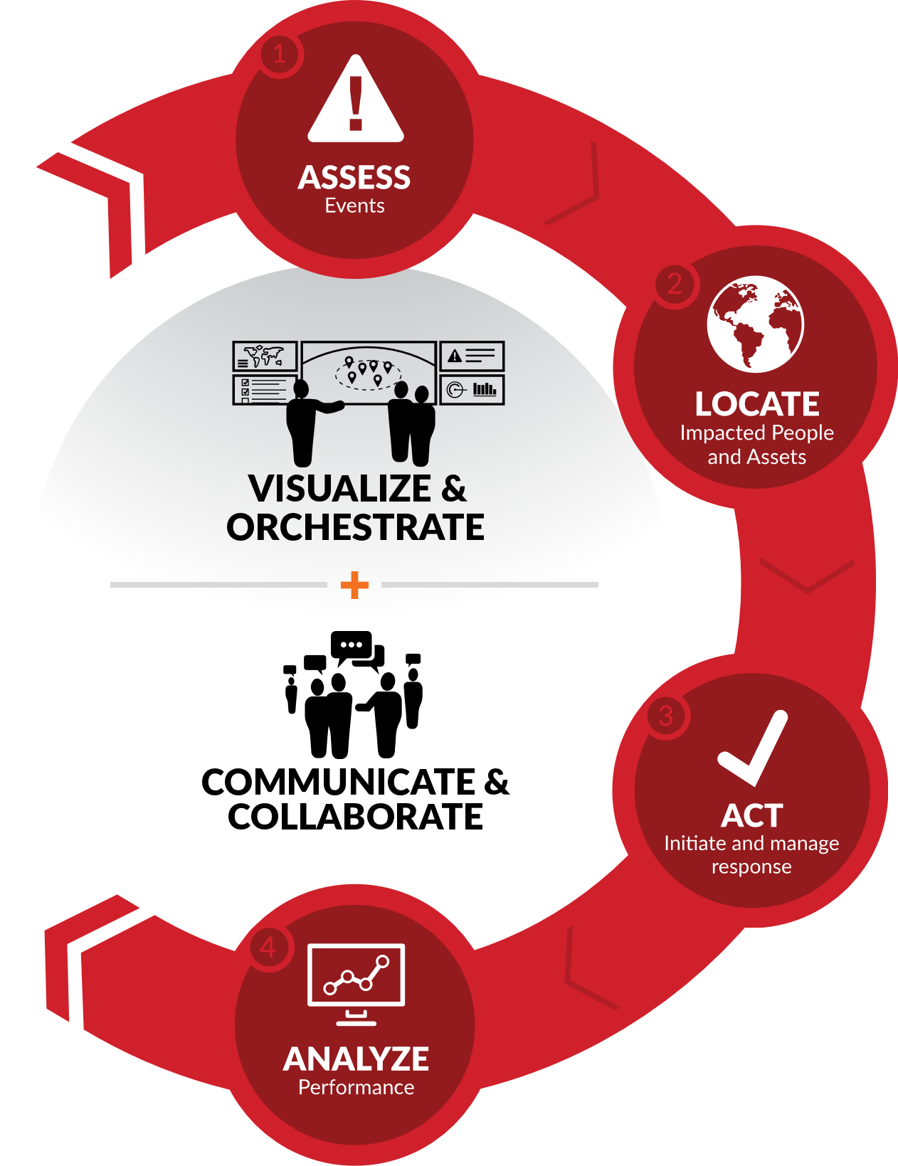 |
Speaker:
 |
Bryan Koon
Former Director of the Florida Division of Emergency Management
|